2011-05-15

Tokaido Walk (12)Hara- Yoshiwara (0ff Tokyo): May 15, 2011


Mt. Fuji is everyone’s topic in Japan (even now). It is not only the highest mountain but also a symbol of the country. The mountain also attract many foreign tourists (especially Chinese tourists).


I had a confortable walk from Hara, the 13th shukuba station from Edo’s Nihonbashi, to Yoshiwara, the 14th. I could see Mt. Fuji in my right hand all the way in my walk.


Old Tokaido runs along the sea side in this area. Houses continue along the road. I could see Mr. Fuji over the roofs.


The pine woods continue from Numazu to Yoshiwara (about 10 kilometers). The scene of Mt. Fuji over the pine trees was so beautiful.

I found many factories when I entered Yoshiwara, Fuji city. The city is especially famous for its paper factories.
There are many factories along the Tokaido street. I found many tall industrial chimneys in the city.

The contrast of modern factories and Mt. Fuji was impressive.


The pollution was serious in the city about 40 years ago. It smelled so bad (because of the smoke from the paper factories). Rivers and ports were heavily polluted with the waste (slime) produced in the process of paper production.

Slime monsters appeared in the movies.
The rivers and the port were cleanned up after the 1970s.


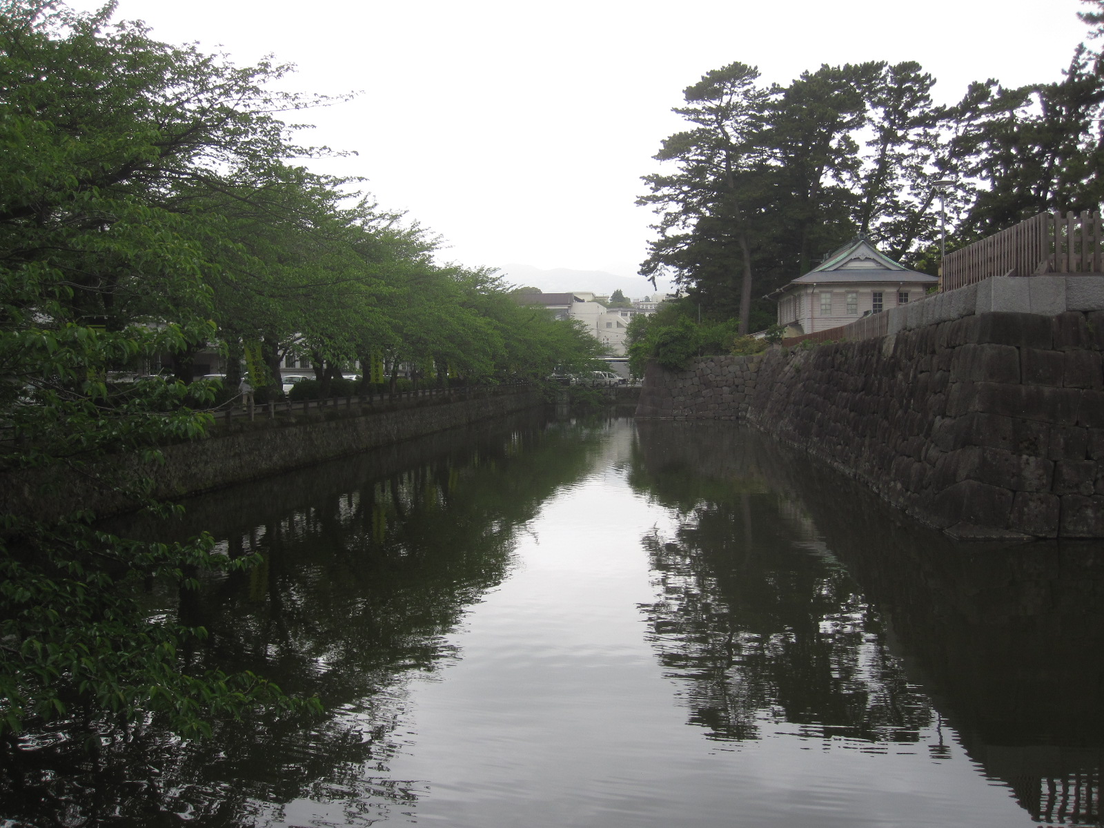
Map: Hara


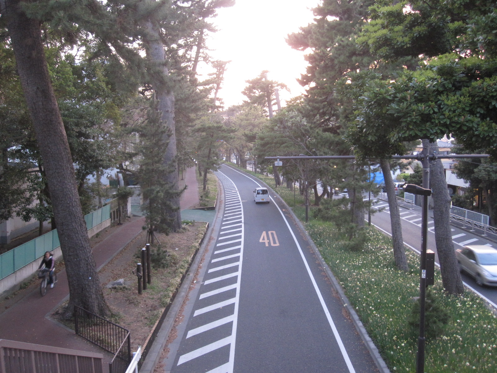
Map: Yoshiwara, Fuji city


2011-05-07

Tokaido Walk (11) Mishima-Hara (off Tokyo): May 5, 2011


I have already walked more than 100 kilometers from Nihonbashi, Tokyo. I walked from Mishima, the 11th Shukuba station, through Numazu, the 12th station, to Hara, the 13th. It was about 12km walk in total.


Mishima is known as an eco-friendly city. It has many springs in the city. A beautiful creek named “Genbei gawa” flows in the central part of the city. Small fish swim and fireflies fly in and around the creek.


People were enjoying walks when I visited there in the morning. There are cement-made steps installed in the creek. I walked over the steps.

The creek was seriously polluted after the World War 2 by polluted water from homes and factories. Fireflies died out.

People started clean-up the creek in the 1990s. The city’s recovery of clean water is widely reported both inside and outside Japan.
I walked Old Tokaido westwards. Houses and shops continue along the street. The roads are flat (easy to walk).


I found a huge building with a large parking space along the street. It was a pachinko parlor. Pachinko is Japan’s popular board game. People enjoy gambling by it.

The building had about 1000 machines in it. More than half of the seats were full when I entered the parlor at around 10:30 am. It was noisy inside the parlor but no sounds were heard outside.

I saw a young lady arrived by a taxi. I also saw many people came here by their cars. I wondered how many people were spending their holidays at pachinko parlor in Japan.

I arrived at Numazu. The city is famous for its fishery port and himono (half-dried fish) products.

There are many shops of marine products and seafood restaurants in the port area. I found hundreds of himono (half-dried fish) on wire-mesh tables and hundreds of large cooked tune heads (on wood tables) sold.


I visited the seacoast. Thousands of pine trees are planted here. The coast is called Senbon-Matsubara (Thousands pine trees field). Families were relaxing in the coast and birds were flying against strong wind from the sea wind.

The pine woods - Mt. Fuji contrast is famous. The scene is repeatedly drawn by many artists. I unfortunately could not see Mt. Fuji because of cloudiness.
I walked from Numazu to Hara. The pine-tree woods continued throughout the area (about 6 kilometers).

Tokaido Walk (10) Hakone-Mishima (off Tokyo): May 4, 2011


I walked down the Hakone mountains to Mishima, the 11th shukuba station. It was more than 15 kilometers. The walk was rough like yesterday’s (Odawara-Hakone climbing).


I had a short climb from Hakone shukuba station to Hakone point. The point is the border between Kanagawa and Shizuoka Prefectures (Sagami and Izu counties in old names). It is also the highest point in all Tokaido.


I walked up an old street which had cider trees in both sides. Unlike the lakeside cider street which was well trimmed, the street was not cleaned up and was covered with bushes.

The Hakone point is 846 meter high. I enjoyed a beautiful scene of Lake Ashi from a viewing spot nearby. I also saw a group of motorbike riders at the point.


The condition of the road was different by parts. It was surrounded by small bamboo bush in one part. I felt that I was walking in among walls made by bamboos.

The road was surrounded by young cider trees in other parts. Woodpeckers made sounds there.


Old cover stones remain in many parts. It was like an ordinal mountain trail in other parts. Butterflies flied and many unknown flowers were open in the ground.


It was cloudy again today. I could not see Mt. Fuji. (Pity!)


There appeared vegetable fields and farm houses when I moved around five kilometers. The villages in the mountain were developed in the Edo period.


I finally came down to Mishima city. TPine-tree street as well as mile stones remain in Mishima.
It is about 32 kilometers from Odawara through Hakone to Mishima. I was tired but felt good.

Tokaido Walk(9) Odawara-Hakone (off Tokyo): May 3, 2011


Hakone was known as the hardest place to pass in Tokaido. People had to walk steep roads to across the Hakone Mountains. Many tourists lost their lives here.


Japan’s old folk song says – “Mt. Hakone is a nationwide-famous hard place…”


I used the Golden week holidays to across the Hakone Mountains.

I started the walk from Odawara. They had a festival in Odawara Castle to honor the glory days of the Hojo family, the ruler of the region in the 16th century. Many people gathered there.


Hakone is now a National Park. There are modern roads and railways for the tourists. The old Tokaido remains as it was in some parts. Some parts have been converted into new roads. Other parts have returned to bushes and woods.


I walked about 5 kilometers on National Route 1 from Odawara. The road was steep. There were so many cars in the road.
The Hayakawa River runs along the road. I arrived at Hokone Yumito, the most popular hot spring resort in the region.

The old road appeared. It was covered with stones. The construction works were done by the Tokugawa government more than 300 years ago to keep the safety of the travellers.


The old road went through the woods in some parts. The air was fresh and the creeks were beautiful. Various birds sang. It was confortable to walk in the wood, but it was also hectic as the slopes were so steep.


The bushes were deep. It is recorded that rubbers were behind the bushes and some travellers were attacked in the Edo period. It is also recorded that many palanquin carriers worked here. Palanquin is a portable seat carried by 2-4 drivers.

The automobile roads were also steep. There were many u-turn curves.


I arrived at the coast of Lake Ashi after climbing the mountain nearly five hours. The lake was made by the eruption of Mr. Fuji. It was beautiful. It was a pity that I could not see Mt. Fuji as the weather was cloudy.
I walked the famous “cider street” along the lake. More than 400 old cider trees remain there. The trees are about 30 meter high and 3 meters in diameter. There were not so many tourists walking today (but many tourist were walking in the following day = May 4th).


I moved to the old checking station (Sekisho). The Tokugawa Government checked the people coming in and going out from the Edo area. Current buildings were reconstructed in the Showa era. The place was used in many novels and dramas.


The Hakone Shukuba station was around here. It is the 10th station from Nihonbashi in Edo (Tokyo).


Hakone is crowded in the Golden week every year. But it was more crowded than usual this year. It is because people prefer to visit places around Tokyo rather than having long-distance travel affected by the Great Tohoku Earthquake in March. I saw so many people in every viewing point and terminal, but I found not so many people in the old Tokaido trails in the woods.

Tokaido Walk (8)Ninomiya-Odawara (off Tokyo): April 29, 2011


I walked the last part of Kanagawa Prefecture’s coast area today. It was from Ninomiya to Odawara.

Most parts of old Tokaido have turned into National Rout 1 around here. The road runs through a narrow space between the sea and the mountains. Houses and shops continue (without any spaces) along the street throughout the area.


It is only 10-20 meters from the road to the sea in some parts. It seemed that they were not free from tsunami and other natural disasters. I found in many places the board signs which showed the height of the points from the sea level.


The sunshine was mild and the air was fresh. It was wonderful to see the sea and the mountains at a same time. Oranges and other fruits were planted in the mountains.


I visited a shrine in the middle of a mountain. There spread the Sagami Bay was just below. It was so beautiful.


There remained pine trees in some parts of the street.


I walked westwards and moved into Odawara, the 9th shukuba station.


The city has been the center of the region (current west Kanagawa Prefecture) for hundreds years. Odawara Castle lies in the center of the city. The castle was developed by the Hojo Family, one of the famous 16th century daimyo (regional rulers).
The castle (reconstructed in the postwar period) attracts many tourists.
The city flourished as one of Tokaido’s terminals in the Edo period. It also developed handcrafts and food industries.

There are handcraft centers as well as tourist information centers in the city. One of them is along old Tokaido.

2011-04-26

Shanghai (off off Tokyo): April 25-26, 2011


I had early morning walks during my business travel in Shanghai.

I walked nearly 10 km each day. I visited Hongqiao Central Park and Soong Ching-Ling’s Mausoleum in the first day and Shanghai Zoo in the second day during my walks. All three places are in Hongqiao area, western part of Shanghai. They are also surrounded by tall buildings.


I found many people were playing Tai Chi and/or other exercises in the parks.


Hongqiao Central Park was developed about 10 years ago. The park was green rich and clean. A press center was set here during the Shanghai Expo in 2010.


Many sculptures of historical figures are placed. They include Charlie Chaplin, Mahatma Gandhi, and Roger Federer.


Soong Ching-Ling was a wife of Sun Yat-sen, a figure regarded as a founding father of Republic China. She is also known as one of the famous three Soong sisters. She later became vice president of China.


She was buried in a cemetery, which is now turned into a public place. People were playing Tai Chi.


Shanghai zoo opens at 6:30 every morning. Many elder people come to the zoo as it is free for them.


Some of them were playing Tai Chi while others were playing badminton. I also saw people dancing (jazz dance) and walking along the walk path.


Animals and birds were awake.
There are popular animals such as giant pandas, tigers, monkeys.
Collection of goldfish was unique and impressive.


The streets were getting busier while I was walking. Business people hurried to their offices. The traffic jam was heavy.


2011-04-20

Tokaido Walk (7): Chigasaki-Ninomiya (off Tokyo): April 16, 2011


More than one month has passed after the great earthquake and tsunami disaster. Series of nuclear accidents at Fukushima plants followed. I had not been so willing to go around outside in the first few weeks. But I restarted long-distance walk today.

I took part seven of my Tokaido walk. It was from Chigasaki to Ninomiya (about 15 km).

The weather was fine. The sunshine was bright and the temperature went up more than 20 degrees. We had unseasonable cold days in March (the temperature went down below zero). It seemed that the season changed from winter to summer in a week.

Chigasaki is about 10 km west of Fujisawa,the 6th station from Nihonbashi. I walked through residential areas and reached Sagami River. I found people enjoying sailing.

I entered into Hiratsuka, the 7th station (shukuba). Only the monuments (of old inns and gates) remain.


I walked westward and found a mountain in the right side. It is called Mt. Koma. The name originally meant a country (Koguryo) existed in Korean Peninsula more than 1000 years ago. Some people escaped from Korean Peninsula when their country was conquered and arrived here.

A shrine is built at the foot of the mountain. A festival was held when I visited.


I went into Oiso, the 8th station from Edo’s Nihonbashi.

Oiso is a small but famous town.

Japan’s first public beach was developed in the Meiji period here (Some other beaches insist the position). Many famous politicians, business tycoons and novelists built their summer houses in the town. They include Ito Hirofumi, Japan’s first PM in the Meiji period, and Yoshida Shigeru, PM and post-war leader.


Pine trees remain along Tokaido here.

I went down to the beach. Many surfers were waiting a big wave in the sea.

I moved westward and arrived at JR Ninomiya station. It is about 72 km from Nihonbashi.

2011-04-03

Cherry & flowers @west Tokyo: April 3, 2011


I walked walking paths in Setagaya ward, west Tokyo, to see cherry blossom and other spring flowers.


It was far colder than yesterday. Only 30-40% of cherry flower was open.


Many people were walking along the path and enjoying cherry blossom. Some were walking with their dogs.

Others were enjoying hanami (flower watching) picnics under the cherry trees. There wewrte fewer people than usual because of earthquake and tsunami disaster in March. They were also quieter than usual.


Many cherry trees have fait pink flowers (the trees are called Somei-Yoshino) while others have strong pink flowers.


I also saw Thunberg's meadowsweet, peach flower, pansy violet and other flowers.


Animals, birds, and fish also became active. I found a rat, egrets, geese, turtle and other animals. I also saw carps in a pond in a temple along the path.