2018-05-31

Yamanote Line Walk (1)Tokyo- Hamamatsucho: May 30, 2018

JR Yamanote Line is a loop line which runs in the central part of Tokyo.

The total length is about 30km with 29 stations. It usually takes 61 minutes for a round, which means average two minutes for moving to next station.


As a resident of Tokyo, I very often walk around Yamanote Line stations. The scenes look different when I walk along the line.

Furthermore, the changes in Tokyo are so rapid. So, I can expect many findings from my Yamanote Line walks.


I started my walk from Tokyo station, the main station of the metropolis. (See also the top photo )


Various local and long-distance lines, including Shinkansen bullet train, start from the station.

The Tokyo station building was first built in 1914. After experiences serious damages during the World War 2, it was restored, keeping the original form, in 2012.

The road which connects Tokyo Station and the Imperial palace is called Miyuki Dori St.


There are many skyscrapers, including Marunouchi Building, around the station.

Japan Post Building, which locates at the side of the station, has a rooftop garden. The scene is beautiful, I found.

Tokyo International Forum lies between Tokyo and Yurakucho stations. Its ship-shaped glass building is famous.

Ginza, Tokyo’s most prestigious shopping area, lies in the east of Yurakucho station.

There are many restaurants under the elevated railways between Yurakucho and Shnbashi stations. (See also the 4th photo from the top)

Tokyo Midtown Hibaya, the city's new landmark which opened in March, 2018, also locates in the area. The statue of Godzilla stands in front of the tower. (See also the 2nd photo)


Shinbashi station is known as one of landmarks of Japan’s railroads as the nation’s railway operations started in 1872 between Shinbashi and Yokohama. There is an old locomotive in front of the station.

The areas around Shinbashi station were used as a cargo terminal until the 1980s. The areas were redeveloped after the 1980s. Now, there are many office buildings and apartment houses.

We can see a wide view of various trains – those of Yamanote Line, Keihin-Tohoku Line, Tokaido Line, Shinkansen and others -- running in the area between Shinbashi and Hamamatsucho station.

Tokyo is entering into the rainy season. It began to rain and I stopped today’s walk at Hamamatsucho.


2018-05-29

Ome Kaido Walk (1) Shinjuku-Ogikubo: May 28, 2018

Major five roads of the Edo period – Tokaido, Nakasendo, KOshu Kaido, Nikko Kaido and Oshu Kaido -- are widely known, but there were other important roads in pre-modern Japan. Some of them were called waki-kaido, or secondly major roads.

Many roads have been converted into important national and local roads.

I had a walk along Ome Kaido, which connected Shinjuku and Kofu, Yamanashi Prefecture, through Ome City, western Tokyo. It had nine shukuba stations.

Today’s walk was from Shinjuku to Ogikubo.

Shinjuku is always busy. JR as well as private lines and subway lines use Shinjuku as their terminals. It is the busiest station in Japan. Many skyscrapers stand in the west of the stations.

There are many construction sites.

I found historical photos of Shinjuku on the protection walls of a construction site.

Ome Kaido cross Kanda River and enters into Nakano Ward (City) from Shinjuku Ward. The bridge is called Yodobashi

Current Ome Kaido is crowded with cars. There are shops, restaurants and apartment houses at the sides of the road. Subway Marunouchi Line runs under Ome Kaido between Shinjuku and Ogikubo.

I passed Nakano Sakaue station. The shukuba station of Nakano existed here. There is no historical buildings or monuments remain.

Then, I passed Nabeya Yokocho near subway Shin-Nakano station.

Sanshi-no-mori park was developed in the place where they have had a research center of silk worms.

I moved westward to Asagaya area.

There are lines of gingko trees at the sides of the road around here.

Ome Kaido meets JR Chuo line at Ogikubo.

Today’s walk was about 8 kilometers. There are eight subway stations between Shinjuku and Ogikubo.


Nikko Kaido Walk (1) Nihonbashi-Senju: May 16, 2018


Five most important roads in Japan were defined by Shogun Tokugawa Ieyasu at the beginning of the Edo period (1603-1867). 


They were:
- Tokaido (Edo (Tokyo) -Kyoto through coastal areas)
- Nakasendo (Edo-Kyoto through mountainous areas)
- Koshu Kaido (Edo- Shimosuwa in Nagano Prefecture)
- Nikko Kaido (Edo-Nikko in Tochigi Predecture)
- Oshu Kaido (Edo-Shirakawa in Fukushima Prefecture)
* Nikko Kaiso and Oshu Kaiso were on the same route from Edo to Utsunomiya, Tochigi Prefecture. Then, they branched into two roads.

I started my Nikko Kaido/Oshu Kaido walk following my Tokaido, Nakasendo and Koshu Kaido walks.

Nikko/Oshu Kaido had 17 shukuba stations between Nihonbashi and Utsunomiya, the branch point of the two roads.
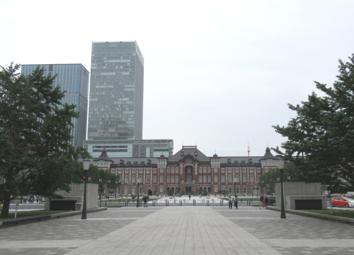
All major five roads started from Nihonbashi. I began my Tokaido walk t eight years ago in 2010. There have been some changes during the period.

A new tourist office opened in 2017. It stands at the side of the Nihonbashi bridge.

It was announced that the motor highways, which run over the Nihonbashi bridge would be taken away and new underground roads would be built instead. The works are expected to begin in the 2020s.

Nihonbashi is now a busy shopping area. The headquarters of Mitsukoshi department store and other shops are there.

Nikko/Oshu Kaido goes through the areas near Nihonbashi, where many clothing wholesalers gather.

The road passes Kandagawa River, which goes into Sumida River, one of the city’s main rivers in the Edo era. I found many houseboats staying along the riversides.

I walked into Asakusabashi area, where many doll shops open their shops.

I walked about four kilometers before arriving in Asakusa area.

It is one of the most popular places for tourists in Tokyo. Many foreign visitors gathered at Kaminari-mon gate, where a big paper lantern hangs. Stuff members of tourist agents were moving rikisha carts for tourists.

Sumida River flows at the side of Asakusa. Tokyo Sky Tree stands over the river.

The road goes north along Sumida River (The road is now called Yoshino Street). 


I entered an area where many cheap hotels are. They began operating cheap inns in the Edo era. They were used by day-laborers in the Maiji (1867-1910), Taisho (1910-25) and Showa (1925-89) eras. Various labor troubles happened there.

Many hotels have been converted to the facilities for foreign backpackers after the 2000s. I found some hotels showing their information in English at the entrances.

I moved to Minami Senju area. The road goes over the rail lines. 

There existed an execution field in the Edo era. A sculpture of jizo or Ksitigarbha was built to console the sprits of the executed. It now sits at the side of railways. (See the second photo from the top).

The road crosses Sumida River with Senju Ohashi bridge. 

The riverside areas were redeveloped in the last 30 years. Many tall apartment buildings stand there.

Famous haiku poet Matsuo Basho started his Oku no hosomich walks in 1689 (in the Edo period). He walked through Tohoku and Hokuriku districts to Ogaki in Gifu Prefecture in his six months tour. He produced many masterpieces of haiku.

A picture of his departure scene is painted on the wall of Sumida River at the foot of Senju Ohashi bridge.

I entered Senju shukuba station, the first station from Nihonbashi.

Various kinds of monuments are preserved.

Former trader’s working place is now converted into a public space. A complex of community center and residential apartment was built behind the place.

Nikko/ Oshu Kaido is now converted into a shopping street in Senju. There are shopping and business facilities on and around Kita Senju railway stations of JR, Tobu and subways.


2018-05-08

Nakasendo Walk (29) Akasaka(56/69)-Tarui(57/69)-Sekigahara(58/69): May6, 2018


The walk started today at the east side  of Akasaka, the 56th shukuba station.


Akasaka was a crossing point of roads and river transportation in the Edo era. A river port was built on Kuise River. It flourished through the Meiji era. A fire watch tower stands behind.

They produce limestones in the era. 

A railroad was developed to bring cargo and people in 1919. They still operate the railways, but some stations were closed.

The Battle of Sekigahara, which determined Tokugawa Ieyasu to be the ruler of Japan, took place in 1600. Total 200 thousand soldiers gathered in the area.

Akasaka is about 10 kilometers from Sekigahara. Tokugawa Ieyasu placed his first battle headquarters in Akasaka. The place is now called Kachiyama (mountain of victory).

Akasaka is also conceived as a place of good fortune because of .a victory of Tokugawa Ieyasu in Sekigahara. Such information is displayed in many places in Akasaka shukuba station. In

There is a huge ancient kofun tomb called in the wests of Akasaka. It is called Hirui-Otsuka kofun.  It is keyhole-shaped -- square at the front and rounded in the rear – and 150-meter length.
We can see Sekigahara from the top of the tomb.
I walked westward and entered Tarui Town. The town is famous for its honey production. I found a honey shop along the street.

There usually spread wide lotus flower field in this season. They have, however, less lotus flowers this year because of a plant disease. They produce honey from other flowers.

I met many flying carps at the entrance of Tarui shukuba station. This event is nationwide famous. It continue about two months in this season. (See also the top photo)

There remain various historical buildings and monuments in Tarui station. The Kamemaru-ya inn has continued operation for about 200 years.

The Tarui spring produces clean water.

The walls of the buildings are used as the boards of outdoor exhibitions.

Tarui is about 5 kilometers from Sekigaghara. Many feudal loads (and military leaders) laced their battle headquarters here. (See the 2nd photo from the top)

I entered Sakigawhara Town. I walked along a row of pine trees. 


JR railways, JR bullet train, and Meishin expressway run along Nakasendo.

Sekigahara is surrounded by many mountains. People need to go through a narrow valley to move between east and wast. It is why various important battles, including the battle of Sekigahara in 1600, took place here.

One of the battle headquarters of Tokugawa Ieyasu was here. The place was a battle headquarters of Prince Oama in 672 in the Jinshin War. Oama won the war and became Emperor Tenmu. (See also the 3rd photo from the top)

Many other military leaders, in addition to Tokugawa Ieyasu, opened their battle headquarters.

The signs on the electric poles say: “The whole parts of the town stand on the old battle fields.”

I often felt history here.