Showing posts with label Tokaido Walk. Show all posts

2026-04-11

Tokaido 57 Walk (5) Hirakata-Korien: April 6, 2026


I started my walk today from Hirakata shukuba station. Hirakata was the largest of the four shukuba stations added to the Tokaido between Kyoto and Osaka.

The area around Keihan Railway's Hirakata-shi Station has now been converted into a commercial district.


The town has been renovated to retain the atmosphere of the old Tokaido, with many houses featuring lattice doors and windows.


The site of the main inn (honjin) has been developed into a park.


An inn building, which retains the architectural style of the time, is now used as a museum.

In the Edo period, Hirakata shukuba station flourished along the Yodo River. People of the time moved the area (from Yodo shukuba station through Hirakata to Koraibashi in Osaka) not only by walking but also by boat.


In the Edo period, the Yodo River flowed right beside this building. A new embankment was built in the Meiji era, and the river is now a little further away from the building.

From the second floor of the building, the view of the Yodo River was clearly visible. (See also the 2nd photo)


The riverbanks of the Yodo River had been developed into a park. (See also the top photo)


There is a museum exhibiting the history and nature of the Yodo River nearby.


After walking for about 15 minutes from Hirakata shukuba station, I arrived a promenade with a waterway along the Tokaido road. Here too, the cherry blossoms were in full bloom. (See also the 3rd photo)


The Tokaido road then followed the Yodo River embankment. Many people were passing by on foot or by bicycle.


The skyscrapers of Osaka were visible downstream.

The Tokaido Road passed through Hirakata City and entered Neyagawa City. This time, I walked as far as Kōrien in Neyagawa City.


Tokaido 57 Walk (4) Iwashimizu Hachimangu-Hirakata: April 5, 2026


I walked the old Tokaido 57 stations route for the first time in about a year. The Tokaido 57 route was developed around 1620 as an addition to the Tokaido 53 stations route (Tokyo-Kyoto section), which was developed in the early 1600s.

The Tokaido 57 route is approximately 50 kilometers long, from just before Kyoto to Osaka. Further explanation can be found in the “Tokaido 57 Walk (1)” post (March 27, 2025).

Today's walk was from Iwashimizu Hachimangu Shrine to Hirakata. Near Iwashimizu Hachimangu Shrine, three tributaries of the Yodo River (Uji River, Katsura River, and Kizu River) meet. Approximately 220 cherry trees are planted along the riverbank at the confluence.

My visit coincided with the peak of cherry blossom season. Many people were there enjoying the blossoms.


The Tokaido road follows the Yodo River embankment. The cherry blossoms viewed from the Tokaido were magnificent. (See also the top photo)


Many people were enjoying cycling and walking along the road on the embankment. I found some cyclists sitting on the land to enjoy the cherry blossoms. (See the 2nd photo)

At this time of year, the rapeseed flowers were also in full bloom. Butterflies fluttered among the flowers. (See also the 3rd photo)


The Tokaido road left Kyoto Prefecture and entered Hirakata City, Osaka Prefecture. I found a site of the Kuzuha daiba after crossing the prefectural border. It was built in 1965, at the end of the Edo period, for the purpose of defending Kyoto.


Continuing along the road, I arrived at Kuzuha Station of the Keihan Electric Railway. In front of the station is the largest shopping mall along the Keihan lone.


Part of the Tokaido road has become Osaka Prefectural Road No. 13.


Another section goes through a residential area.

The parks in the city were also full of cherry blossoms at this time of year. (See the 4th photo)


The Tokaido road continues south along the Yodo River. After walking over 10 kilometers from Iwashimizu Hachimangu Shrine, I arrived at the eastern end of Hirakata shukuba station.


Hirakata was a long, narrow shukuba town stretching for about 1.5 kilometers. The townscape retains the atmosphere of the Edo period.


2025-07-17

Nihonbashi: July 16, 2025


I walked in and around the Nihonbashi area today.

Nihonbashi was originally the name of a bridge, and was the starting point of five major roads (kaido) in the Edo period.

I also started here when I walked the kaido (Tokaido, Nakasendo, Koshu Kaido, Nikko Kaido, Oshu Kaido) since 2010. I started walking the Tokaido in September 2010, and have visited this area frequently since then.


Currently, redevelopment projects are underway in this area, and the scenery is changing rapidly.

In the southeast block of Nihonbashi, redevelopment is underway, centering on a 284-meter-high building. It is scheduled to be completed in 2026.


There are also several large-scale redevelopment projects underway near Tokyo Station on the west side of Nihonbashi.


The highways runs over Nihonbashi now. However, there are plans to move the expressways underground and remove the aboveground sections around 2040.


Kabutocho, on the east side of Nihonbashi, has been the center of Japan's securities business since the Meiji period. It is home to the Tokyo Stock Exchange and dozens of securities companies.


However, the number of securities company offices has decreased compared to the past due to the shift to online trading and the mergers of securities companies.


There are also many foreign tourists in the Nihonbashi area, and tourist buses for foreigners are noticeable.

Coincidentally, on this same day (July 16th), the Japan National Tourism Organization announced tourism statistics. The number of tourists visiting Japan from January to June 2025 is up 7.6% from the previous year, exceeding 20 million for the first time. This will be a pace of 40 million people per year.


2025-03-29

Tokaido 57 Walk (3) Yodo-Iwashimizu Hachiman: Mar 29, 2025


I started today’s walking from Yodo shukuba station and proceeded to Iwashimizu Hachimangu Shrine.


It is said that a castle was first built in Yodo around the 15th century and many rulers used it as their base. At the end of the 16th century, it became the residence of Chacha (Yodo-dono), one of the wives of Toyotomi Hideyoshi. In the first half of the 17th century during the Edo period, a new Yodo Castle was built and existed until the Meiji period.


The castle ruins are now preserved as a park. Some stone walls remain.

A shrine has also been built on the site.


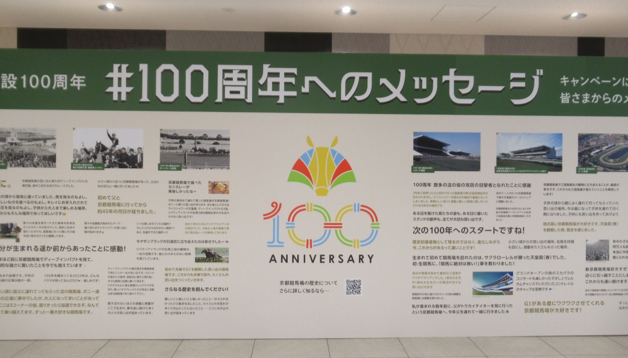
Part of the area where the shukuba station once stood is now the Kyoto Racecourse. It opened in 1925 and is celebrating its 100th anniversary this year.


It is one of Japan's leading racecourses.

It has huge studium seatings, betting booths, theater rooms, restaurants, shops and many other facilities in addition to a horserace course. It can accommodate more than 100,000 spectators.


There were no races today, but quite a few people gathered. Some of them were buying betting tickets for the horse races. Here, horse races from all over the country were broadcast in the form of a public view, and people enjoyed betting while watching.

Others were visiting with their children. Families were enjoying meals, while kids were running around on the grass. (See the 2nd photo)


Many early-blooming Kawachi cherry trees were planted near Yodo, and it is good time to see them. About 200 cherry trees were planted along the waterway, about a 10-minute walk from Keihan Electric Railway Yodo Station. (See also the 4th photo)


The Yodo River (Uji River) and two tributaries (Katsura River and Kizu River) flow close together in this area. The Tokaido road runs along the right bank of the Yodo River, sometimes through towns.


Then, it goes sometimes through fields.


Walking about 3 kilometers from Yodo shukuba, I crossed the Yodo River.
 

Then, I arrived at an observation tower. From there, I could see the view of the Yodo River and the Kizu River merging. (See the top photo)


The Tokaido left Kyoto City (Fushimi Ward) and entered Yawata City when I crossed the Kizu River.


Iwashimizu Hachiman Shrine here was built in the 9th century and is one of Japan's leading Hachiman shrines. It stands on Mt. Otokoyama, which is 143 meters above sea level. Many of its buildings are registered as national treasures. (See also the 3rd photo)


I went up the mountain in a cable car. The panoramic view of Kyoto City was impressive from the observation deck.